equiminous, adj.
/ɪˈkwɪmɪnəs/Of a representation: giving due proportion or weight to the things represented; avoiding distortion arising from convention or convenience.
Hence, of a person: recognising the whole rather than allowing a single characteristic, measure, or judgement to stand for the individual.
Mischievously, Damian Bacchoo (2026)
Maps have a habit of causing moral outrage, and I’m sure there will be all sorts of people falling over themselves this week following the UN vote encouraging a move away from the fiendishly familiar Mercator projection in favour of the more equiminous Equal Earth.
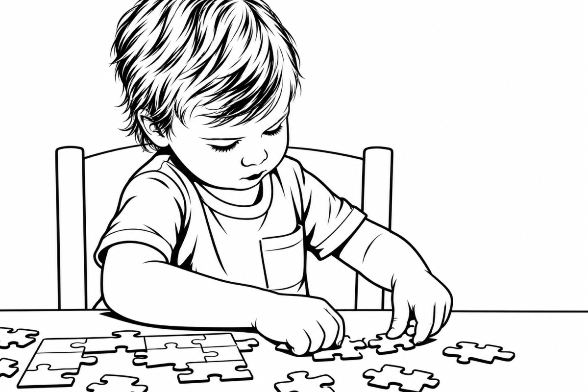
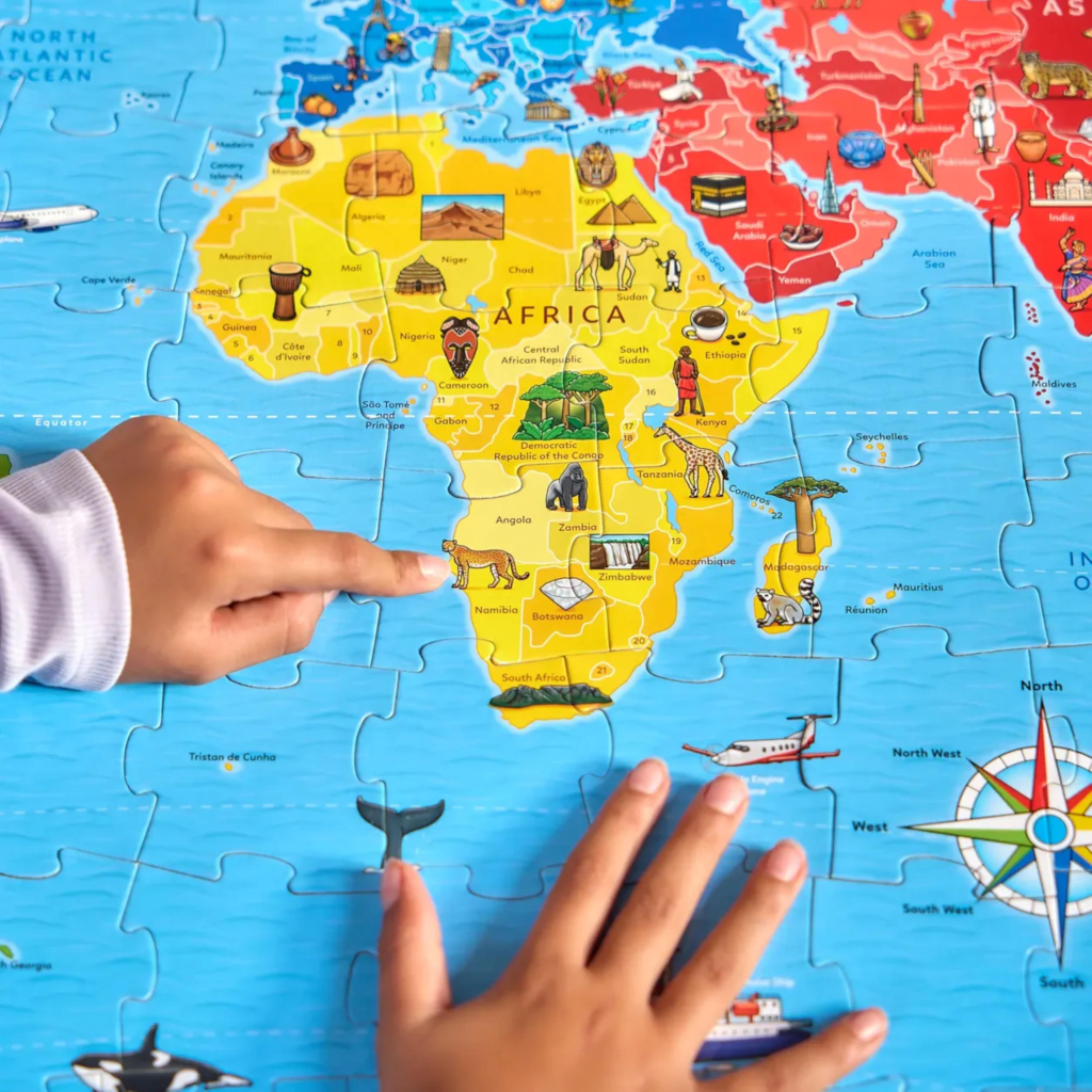
Years ago, a map was also the spark for my son’s first experience of this particular injustice. He discovered that Mauritius was missing from his children’s world map puzzle and, reasonably enough, considered this, from his grid reference, an outrage.
He sat down to write to the puzzle company, which replied with a perfectly fair explanation1: the map was small, Mauritius was too small to include, and perhaps an atlas might serve him better. I remember being impressed that someone had taken the time to write back to a nine-year-old. I thought it was a thoughtful and reasonable response and, whilst it did little to pacify his sense of injustice at the time, I’m secretly delighted that it helped ignite a love of global politics and advocacy that is still very much with him today2.
A map is, of course, just one way of representing the world, with its creator making choices about what they want it to do. The Mercator projection, for example, was first published in 1569 and was designed primarily for navigation. It was extraordinarily useful to sailors because compass bearings could be plotted as straight lines. But there were trade-offs: preserving direction and angles dramatically distorted relative size. Greenland, for example, appears to be almost the same size as Africa, even though Africa is actually about fourteen times larger.
Mercator wasn’t lying, though, and it’s not as if he expected his projection to be used for anything other than navigation. He designed it to solve a problem in navigation, and it ended up becoming a problem of representation. Perhaps the trouble starts when we forget what a map was made to do in the first place.
There are several Mercator projections in my school classrooms. But I’ve also seen a few Peters projections, a couple of south-up versions, a few Asian-centred versions, and even an Equal Earth one, thank goodness. But that’s not actually the point of my writing today…
Our schools are full of ways of representing children: grades, predicted grades, transcripts, teacher judgements, admissions tests and educational psychologist reports. And then there are the labels: gifted, struggling, quiet, challenging, high potential. Each one is a little pin we stick into the map.
But pins can be misleading. We can make some things loom larger than they should, while barely noticing others. A child’s behaviour can become the defining feature of the map, while their kindness, curiosity, resilience or sense of humour is reduced to a footnote. Meanwhile, another child’s struggles can occupy the whole page, while their strengths are barely visible. You know this.
A grade tells us something about performance in a particular context. A behaviour record tells us something that happened. A prediction tells us what we think might happen next. All useful information, perhaps even necessary information, but none of it amounts to a child. You know this, too.
And let’s face it: like maps (and words), people have a habit of making up their own versions.
Every child has their own map, and it changes as they grow. Sometimes they need maps to navigate the world; sometimes they need them to make sense of it.
Perhaps our job is not to settle on a perfect map, but to make our maps equiminous — giving due weight to what we see without mistaking it for the whole.
- My son’s letter to the company was written in 2018, coincidentally the same year that Equal Earth was created:
From: “info@orchardtoys.com” <info@orchardtoys.com>
Date: March 6, 2018 at 3:03:10 PM GMT+1
To: XX
Subject: Re: General Enquiries
Reply-To: info@orchardtoys.com
Dear XX
I am so sorry to hear that you are disappointed with the fact that Mauritius is not ‘represented’ on our World Map Jigsaw Puzzle.
As I’m sure you are aware, the scale of the map is not very large, and there are many countries which, due to the scale, are just too small to be clear on the map. I believe that the island does show up on the illustration, but there is not really enough space to label it. The Falkland Islands are possibly represented as they are classed as a British Overseas Territory and are slightly bigger, with a land mass twice the size of Mauritius.
Unfortunately we often receive similar emails from people in other countries who are disappointed that their own nation is not labelled on our World Map. We are fully aware that we cannot include every nation, but we do hope our customers understand that the map is basically a simplified illustration to hopefully give children an idea of the world and where they live in relation to other countries through a child’s jigsaw puzzle. For those parents who want to explain the world in more detail, it would be worth buying an atlas which would give a much more detailed representation of not only your beautiful nation, but many other smaller nations, too.
I will pass your comments on to the Design team, but I’m sorry to say that, unless we produce this jigsaw on a much larger scale, it is unlikely that we will be able to feature Mauritius more prominently.
Thank you for taking the time and trouble to write to us; I would very much like to visit Mauritius one day, as I have heard so much about it from people who have visited it and loved it.
Kind regards,
XX
Thanks again from the Orchard Toys Customer Services Team.
e: info@orchardtoys.com
t: 01953 859520
w: www.orchardtoys.com ↩︎ - Would you believe it? I just checked, and the current version now includes Mauritius!
↩︎
Discover more from Serendipities
Subscribe to get the latest posts sent to your email.

